Nature & Adventures
Tsuboniwa & the Kita-Yatsugatake Ropeway: An Easy Alpine Walk in Yatsugatake
By Dynamic Japan Travel Editorial Team—Supervised by P-HAM Co., Ltd. (Licensed Travel Agency, Aichi No. 3-1590)
Updated 28 August 2026Editorial policy
Contents
Kita-Yatsugatake Ropeway and Tsuboniwa: An Alpine Walk at 2,237m
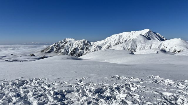
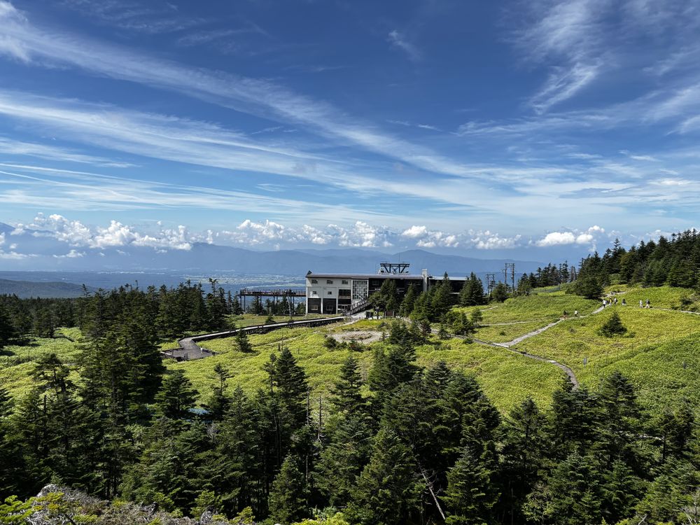
At 2,237 metres, the air is a world away from the summer heat below. The Kita-Yatsugatake Ropeway carries you from the base station to the summit station in just seven minutes, and right outside the doors lies Tsuboniwa, a natural garden spread across an old lava plateau. The loop trail takes 30–40 minutes and needs no hiking gear — sneakers are fine. It stays cool up top even in midsummer, so bring one long-sleeved layer. Including the round trip from Chino Station, this is an easy half-day outing.
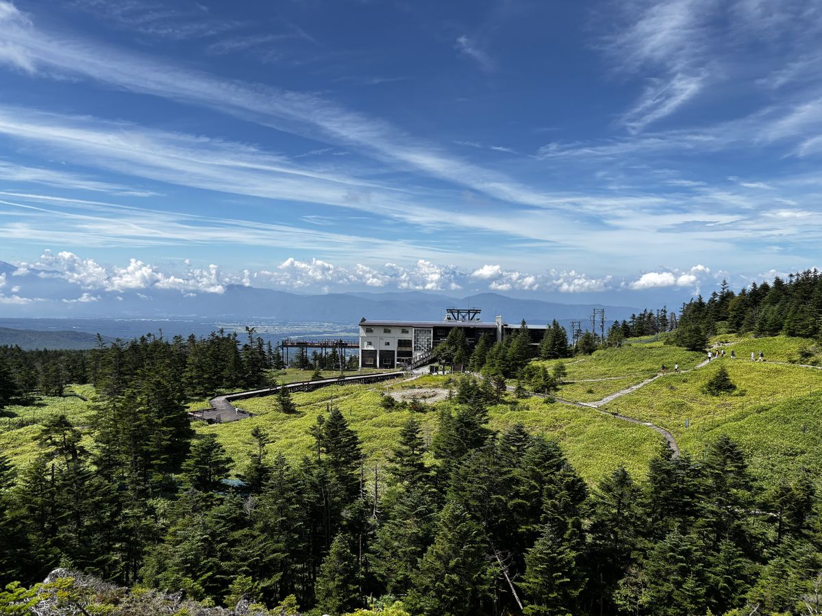
“I'd love to walk in Japan's high mountains, but serious climbing feels like too big a step.” This is exactly the place for anyone thinking that. For travelers coming from somewhere hot year-round, the coolness at this altitude is a sightseeing experience in its own right. This article is based on my own visit in late August 2026.
A Seven-Minute Ride Up to Tsuboniwa
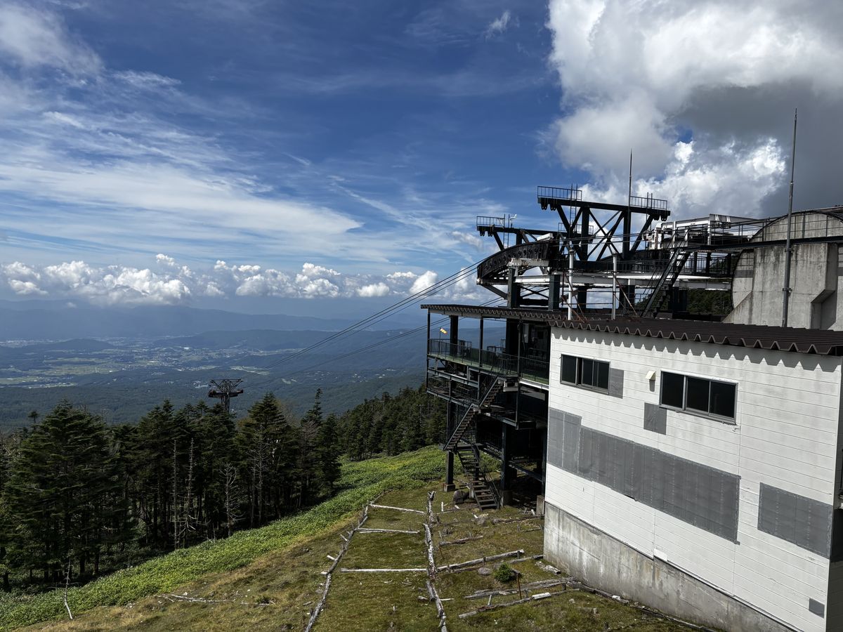
The Kita-Yatsugatake Ropeway uses a large gondola that carries 100 passengers at once. The ride lasts about seven minutes, with a conifer forest spreading out beyond the windows and the valley below receding steadily behind you. In no time at all, you are at an altitude that would take hours to reach on foot.
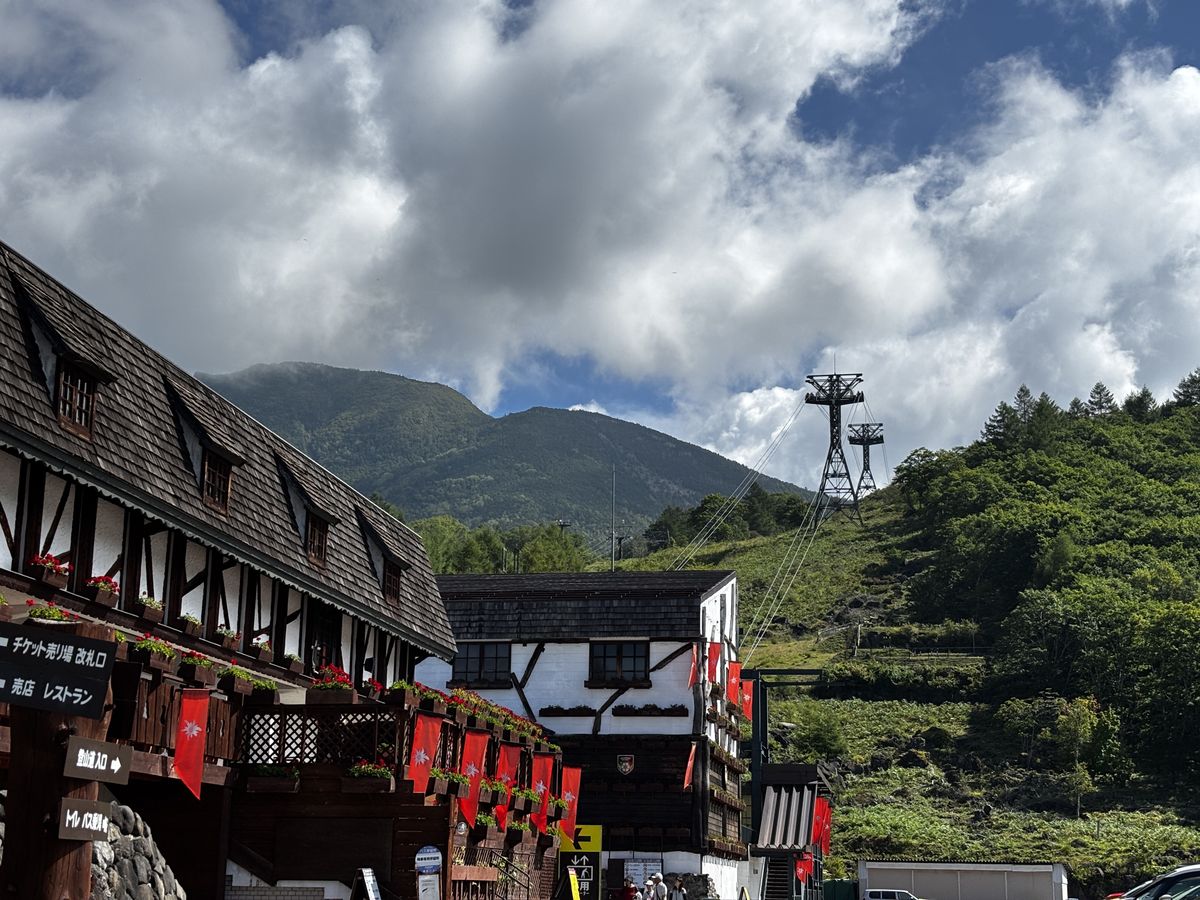
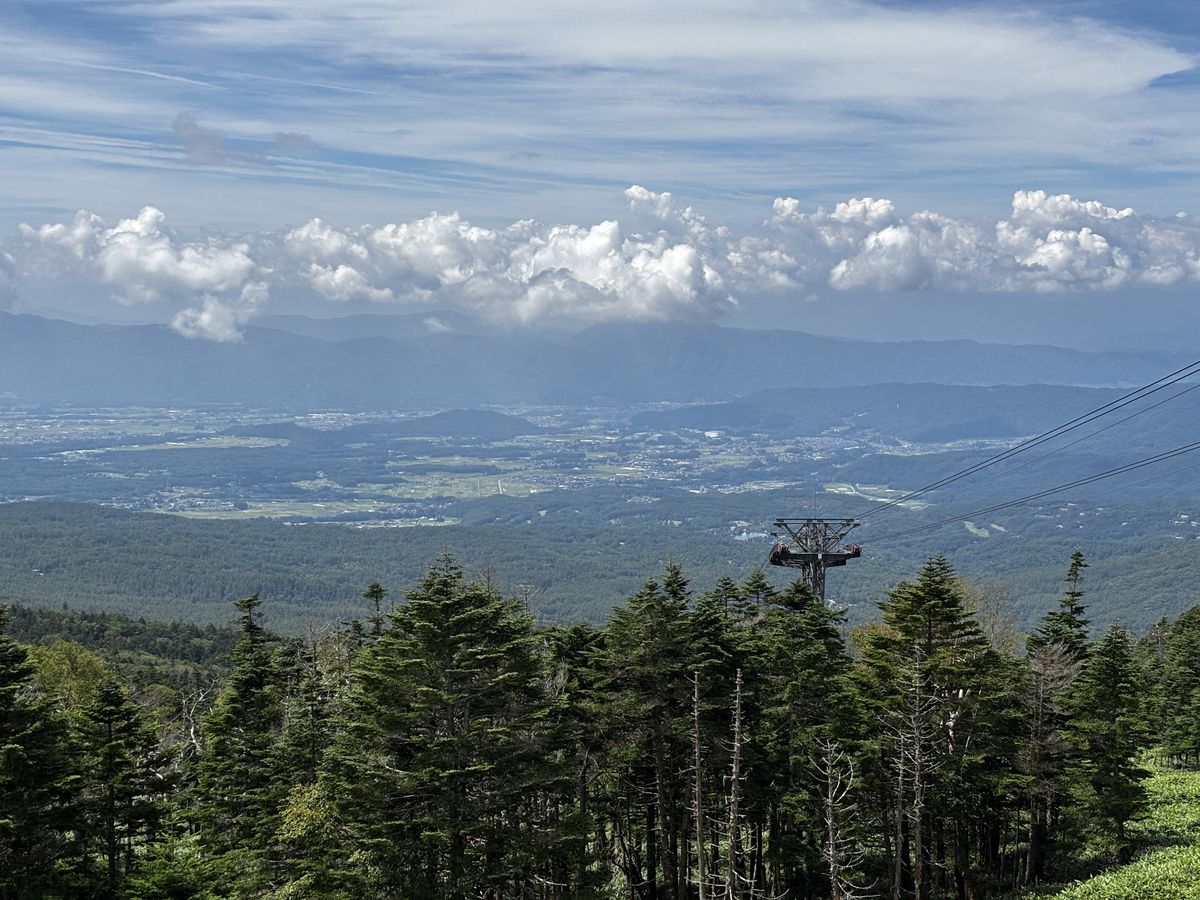
One piece of happy news: the Kita-Yatsugatake Ropeway celebrates its 60th anniversary in 2027, and a sign at the base station announced that a brand-new gondola will debut in July 2027. The bright-red new cabin is something to look forward to.

How to buy tickets (4 steps)
Buying a ticket is straightforward. Sales are handled in person at the counter, so once you know the flow below you won't get lost.
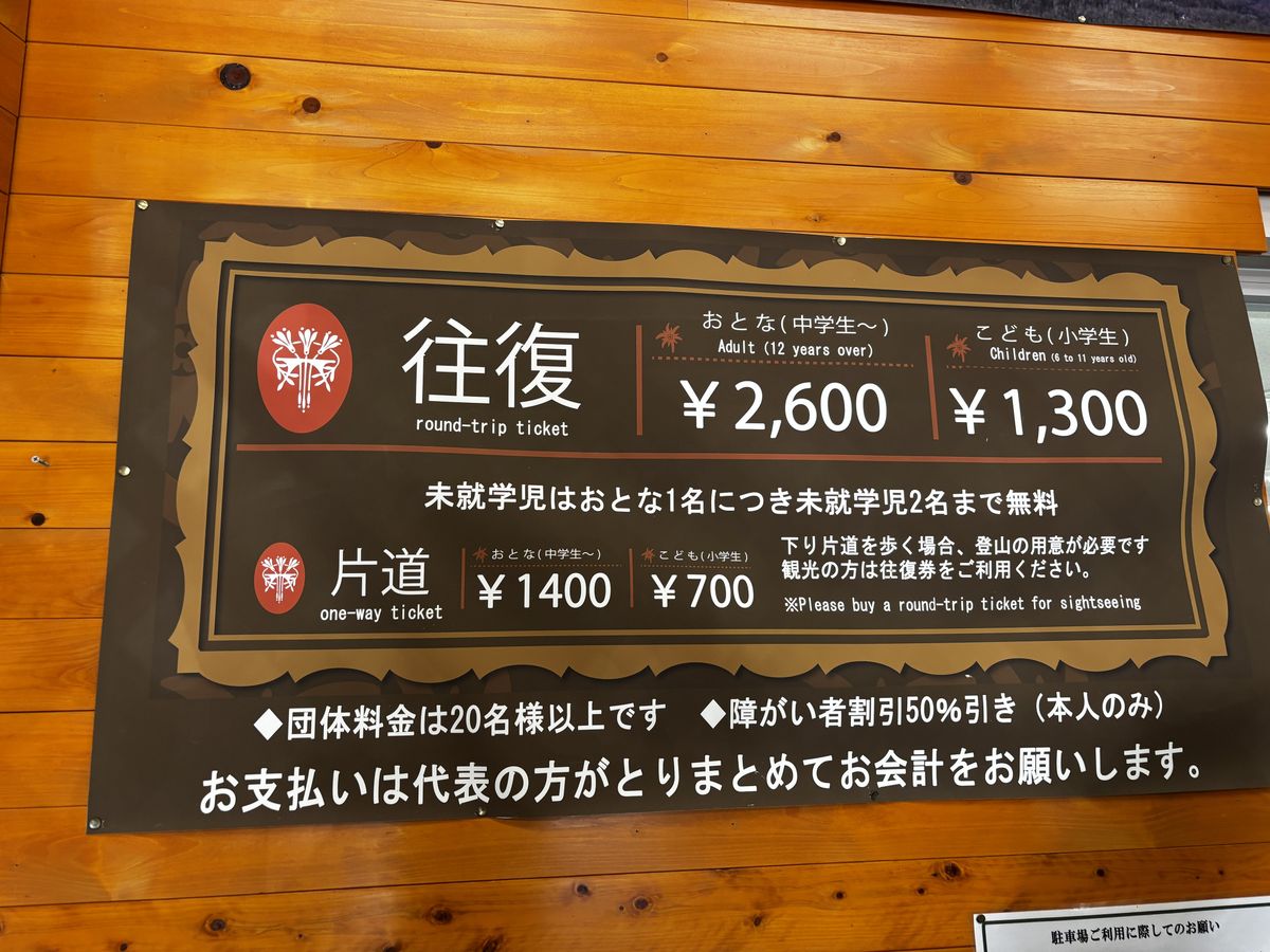
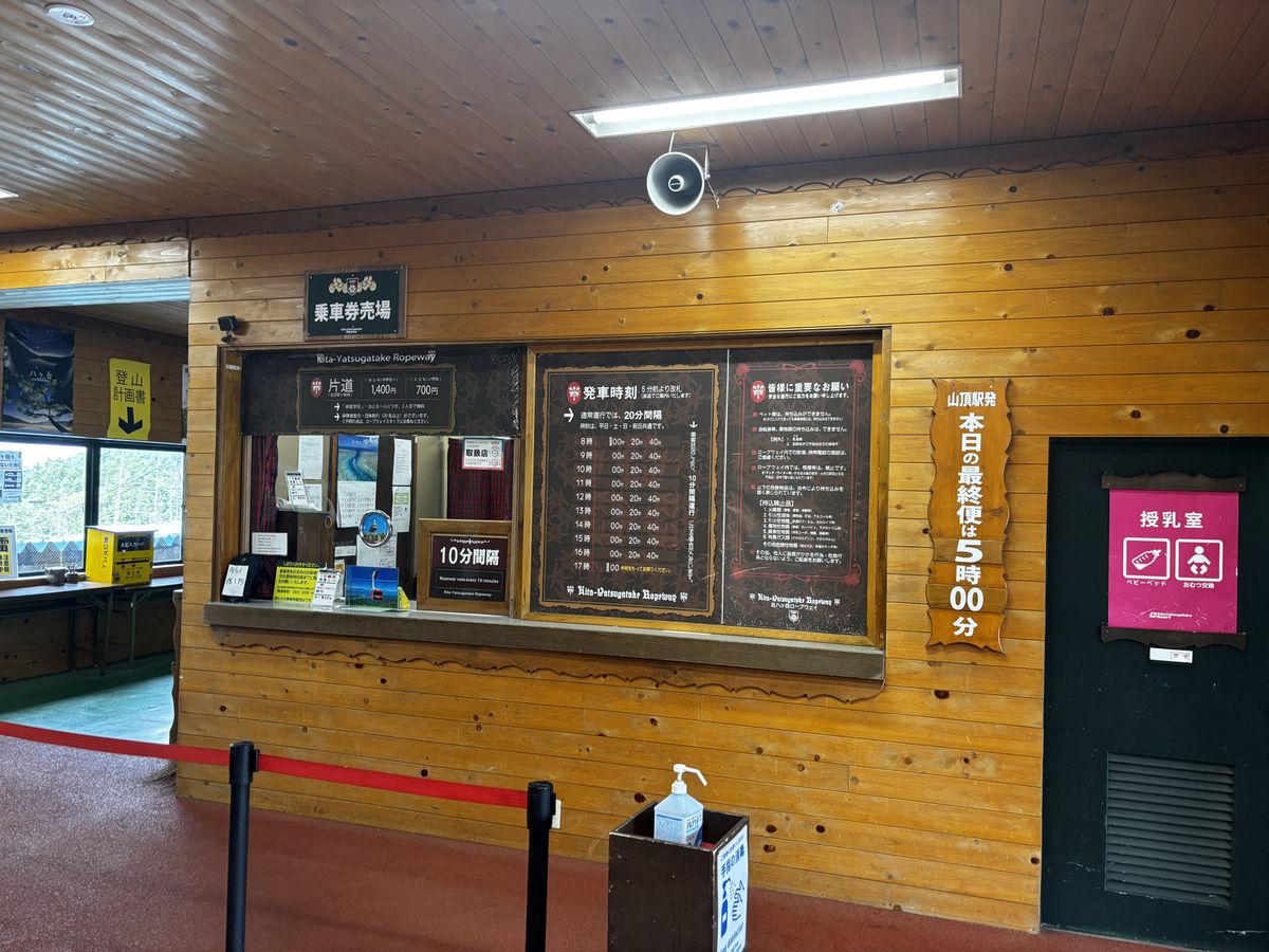
1. Head to the ticket counter at the base station. Inside the station building you'll find the ticket window. Fare boards are posted around it, so check the prices first.
2. Choose round trip or one way. If you plan to loop around Tsuboniwa and ride back down, a round-trip ticket is the standard choice. One way is for those who intend to hike down the mountain trail from the summit side.
3. Collect your ticket. Pay at the window and receive your ticket.
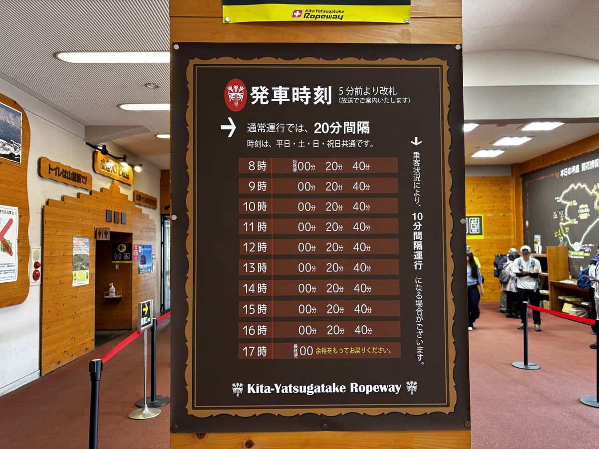
4. Proceed to the gate. A departure board is posted inside the station building. The timetable lists departures at set minutes past each hour, running at regular intervals. Because intervals and first and last departure times change with the season, always check the notices posted on the day of your visit.
2. Choose round trip or one way. If you plan to loop around Tsuboniwa and ride back down, a round-trip ticket is the standard choice. One way is for those who intend to hike down the mountain trail from the summit side.
3. Collect your ticket. Pay at the window and receive your ticket.
4. Proceed to the gate. A departure board is posted inside the station building. The timetable lists departures at set minutes past each hour, running at regular intervals. Because intervals and first and last departure times change with the season, always check the notices posted on the day of your visit.
As a rule, use the restroom at the base station before you board. There are facilities at the summit station too, but they're mountain-top facilities — treat the base as your default and the summit as a backup for emergencies, and you'll have nothing to worry about.
Fares and operating hours change with the season. Check the official website for the latest information before you visit.
Walking the Tsuboniwa loop (30-40 minutes)
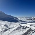
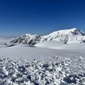
Step out of the summit station and the entrance to Tsuboniwa is right in front of you. A loop trail has been laid across a lava plateau formed by past eruptions, and a full circuit takes 30 to 40 minutes. Green creeping pine spreads low between the rugged, oddly shaped rocks, and where the view opens up you can see all the way to distant mountain ranges.
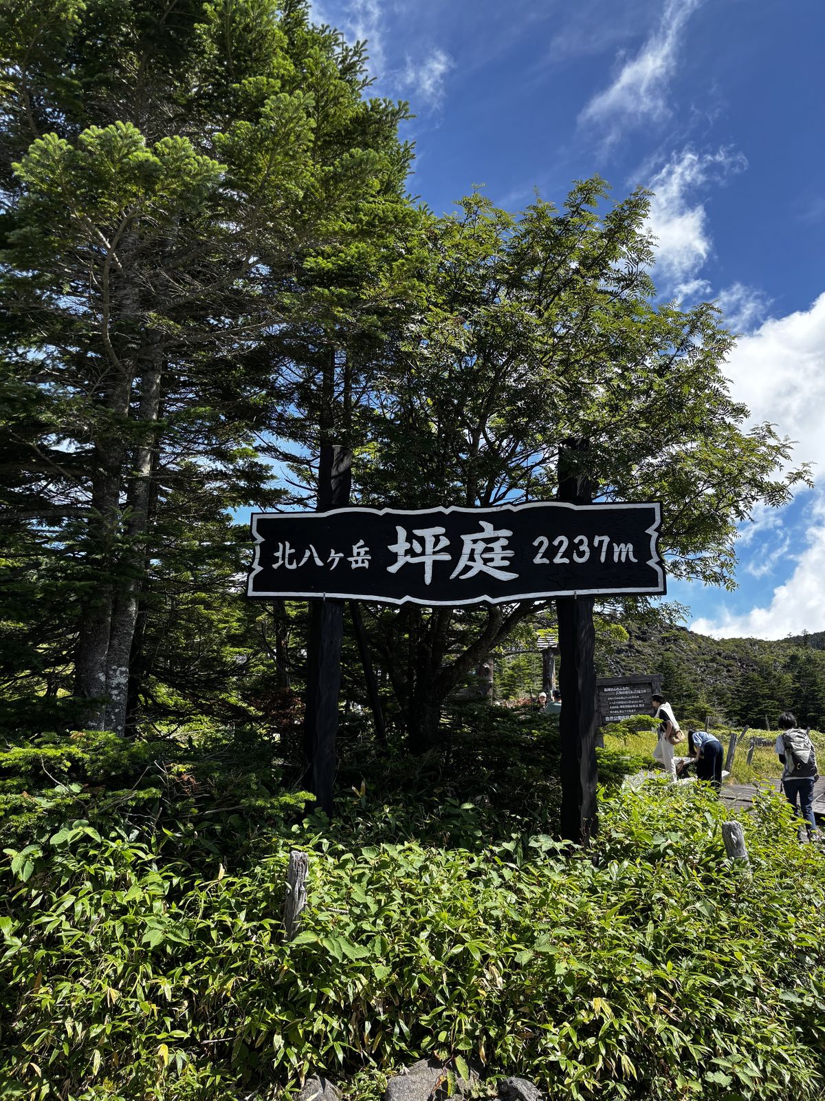
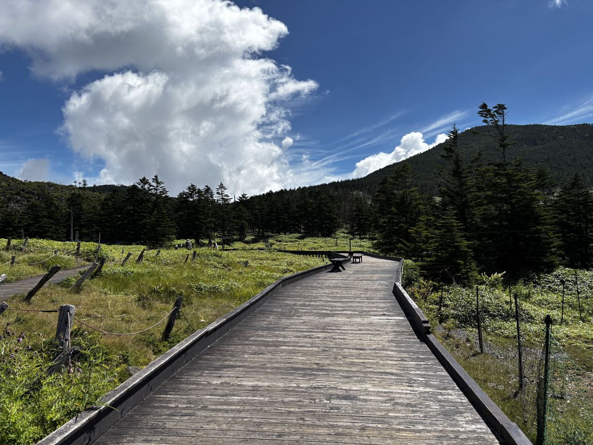
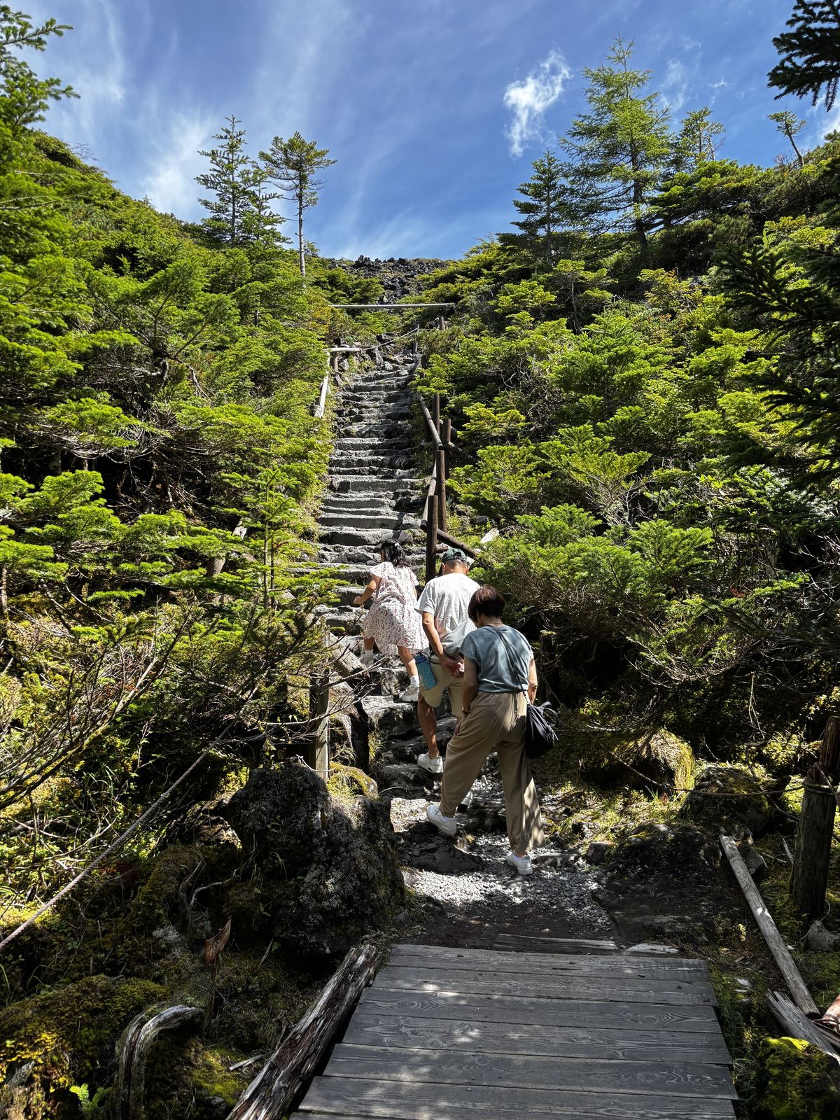
Parts of the path are rocky, but it is well maintained and sneakers are perfectly adequate. Heels and sandals, however, are not suitable. There are few places where scenery this distinctly alpine, at 2,237 metres, can be reached so easily on foot.
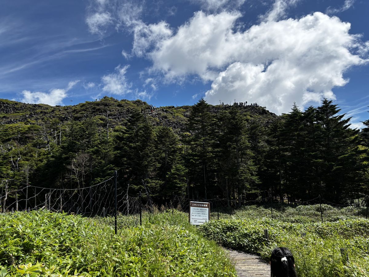
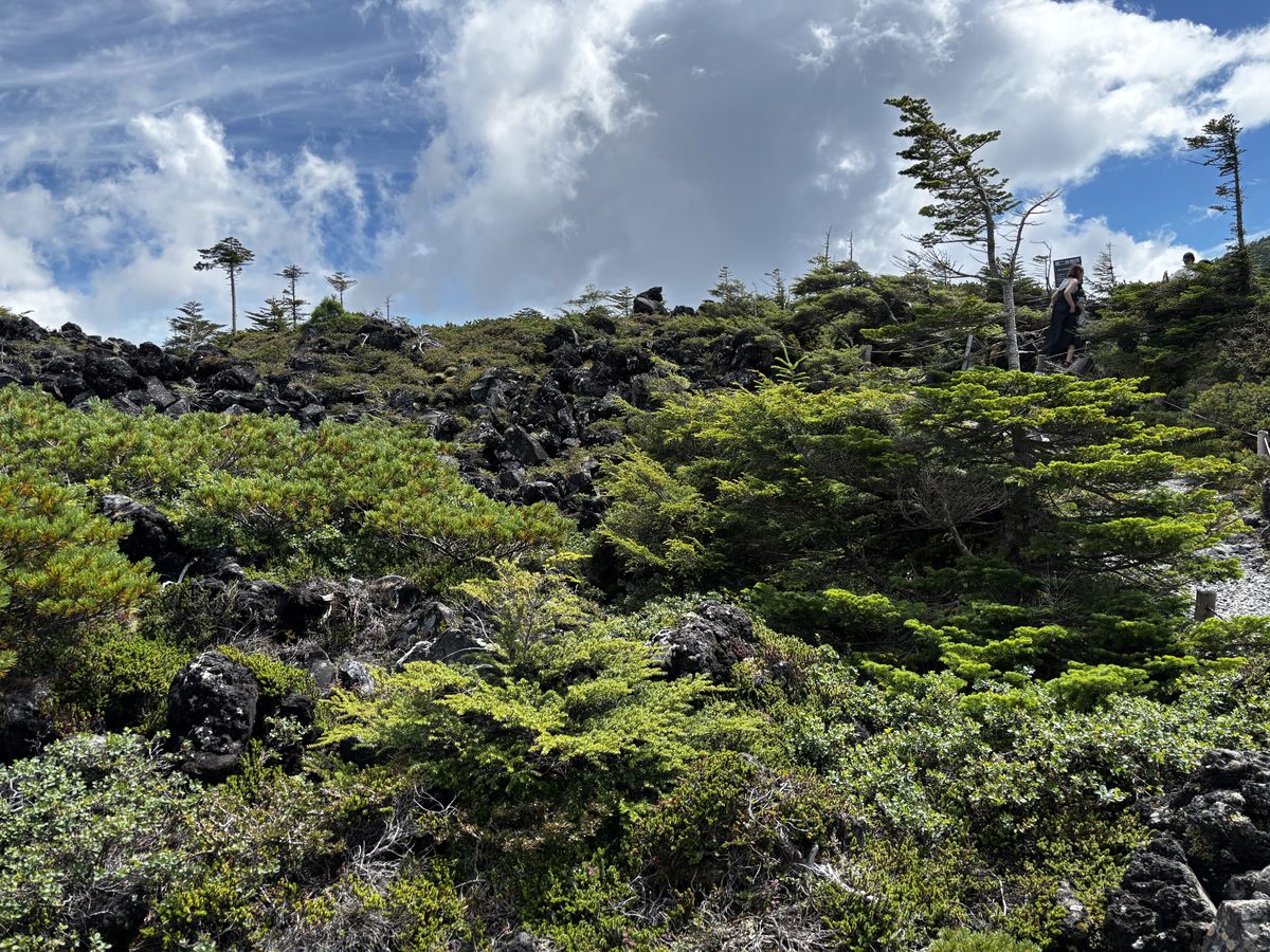
This is high country, so the weather turns quickly, and once cloud rolls in the view disappears. Your best bet is the morning of a day with a clear forecast.
If you have time, step into the moss forest
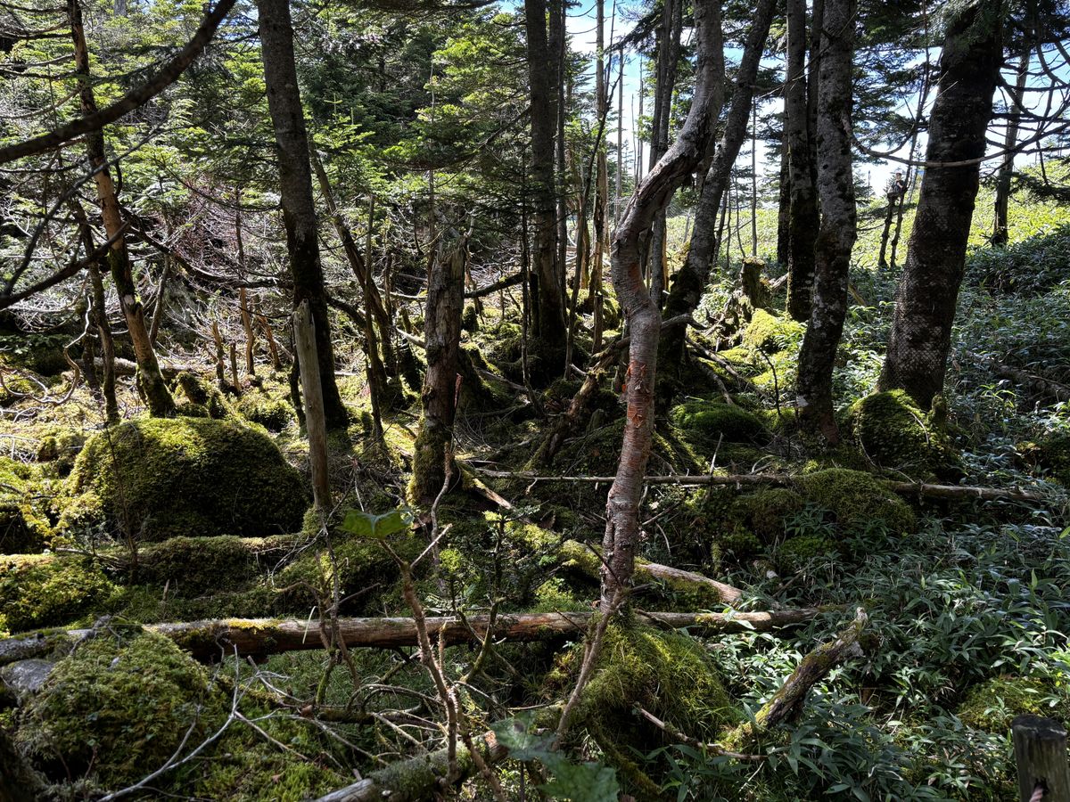
Yatsugatake is also known as one of Japan's finest moss forests. Venture a little beyond Tsuboniwa and you enter the atmosphere of a deep woodland covered in moss-cloaked rocks and conifers. If you are short on time or energy, simply stepping just inside the forest entrance is enough. This hushed world of unbroken green wears a completely different face from the open lava plateau of Tsuboniwa. If you plan to walk the forest properly, come prepared with hiking gear and a plan.
Eating on the mountain: soba at the base, a café break at the summit
If you want a proper meal, the base station is the place. There's a restaurant there, and this time I had a hot bowl of sansai soba (wild vegetable soba). Even at the base, 1,700m up, the air is chilly, and warm soba goes right through you.
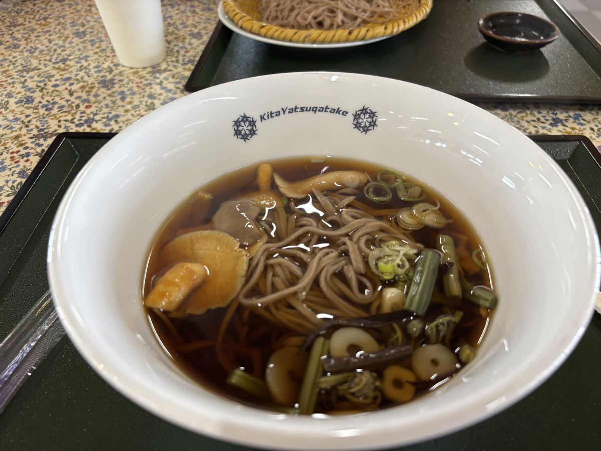
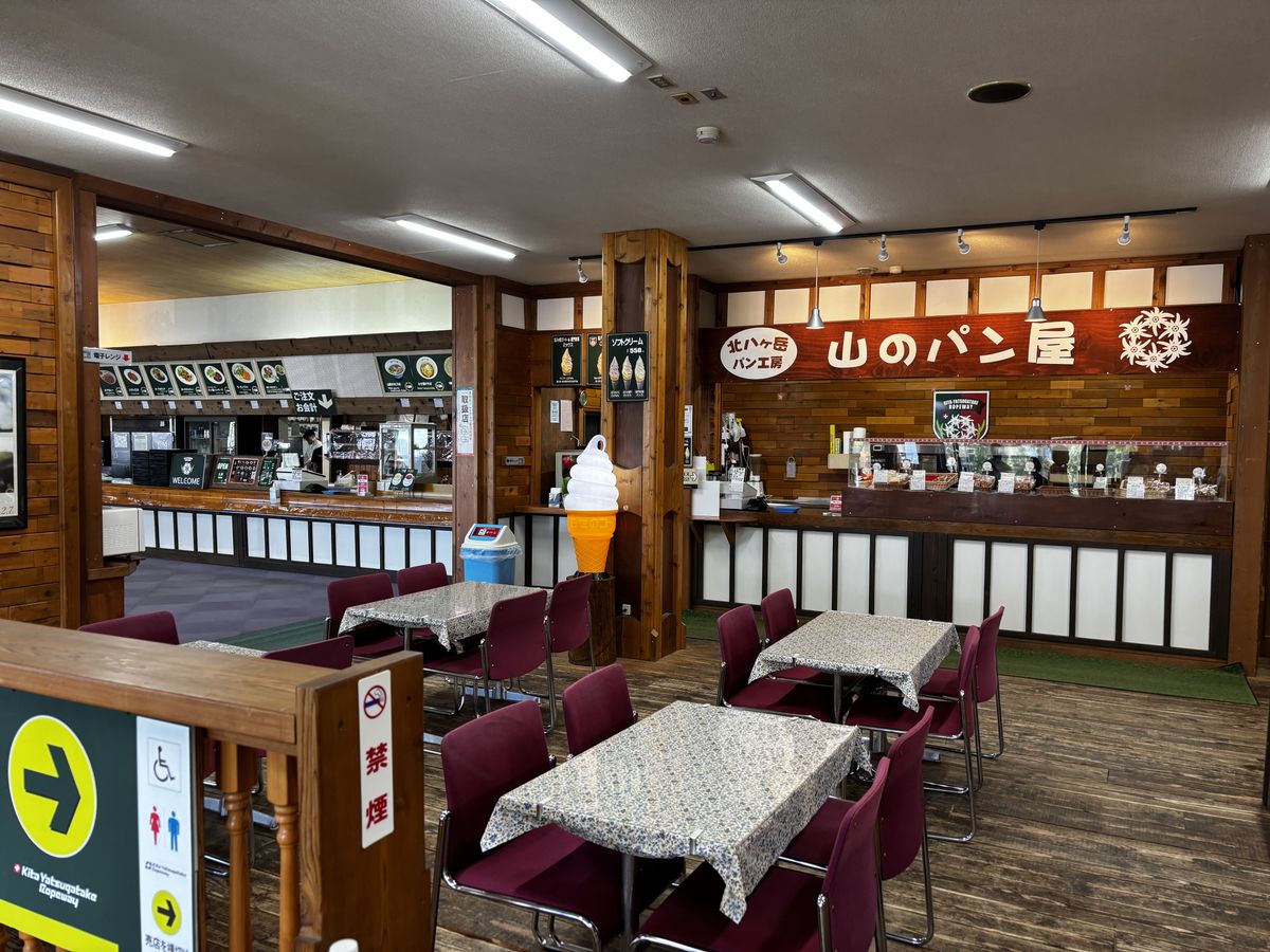
The summit station has a café that doubles as a shop, where you can take a break over ice cream or a coffee. The rough division of labor: proper meals down at the base, a light pause with a view at the summit. The base station also has a bakery — perfect for filling the wait before your ride home, and a good source of trail snacks or a stand-in souvenir.
Access: by bus from Chino Station
The nearest railway station is Chino on the JR Chuo Main Line, and buses run from there to the ropeway's base station.
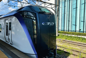
From the Tokyo area, the standard route is to take the Limited Express Azusa from Shinjuku to Chino. Our guide to riding the Limited Express Azusa explains how to board and reserve seats in detail. If your itinerary uses JR limited express trains, it is also worth checking whether a Japan Rail Pass works for you — it can bring transport costs down.