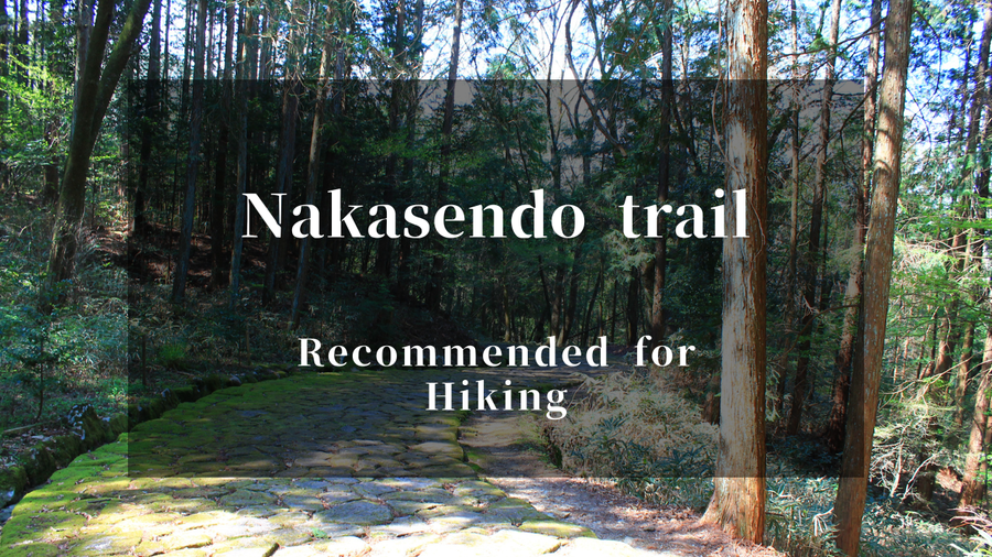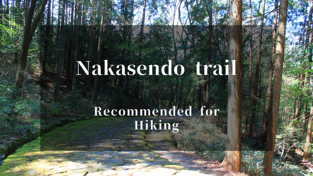
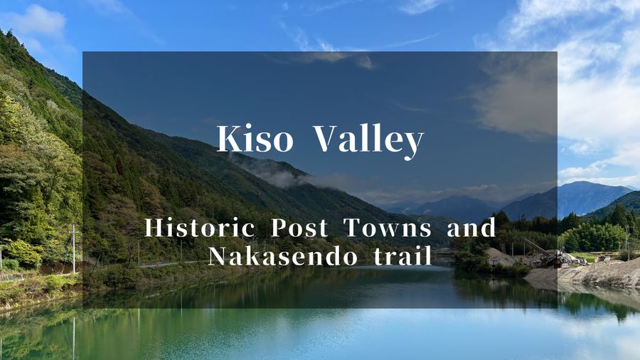
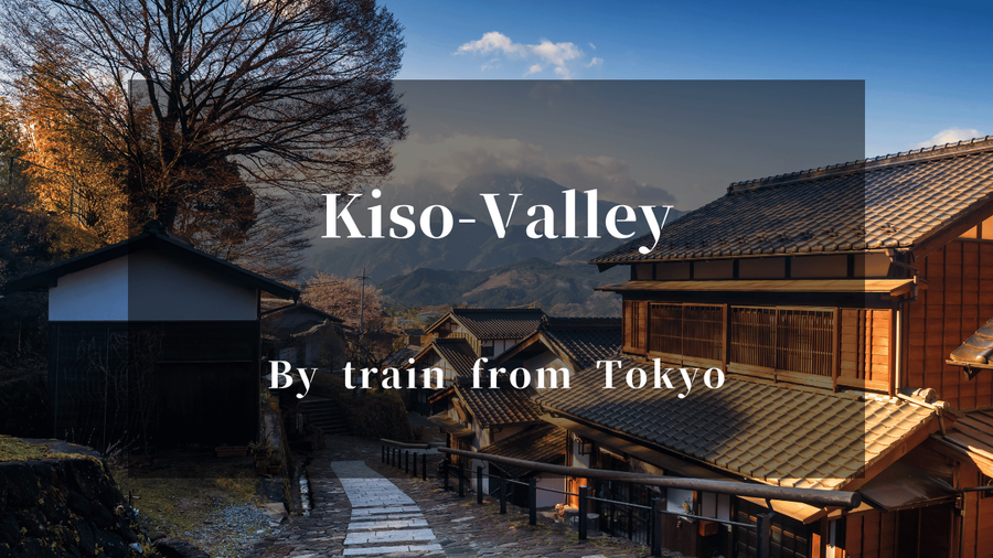
"If I come to Japan, I want to enjoy peaceful hiking and strolling through the countryside while gazing at mountains." For those seeking this experience, the Nakasendo trail is perfect. The Nakasendo was one of the historic routes connecting modern-day Tokyo and Kyoto during the Edo period, known for its scenic path through mountainous regions. Along the route, there are post towns where travelers once stayed overnight. Today, I'll share my experience walking between two of these post towns: Nojiri-juku and Suhara-juku.
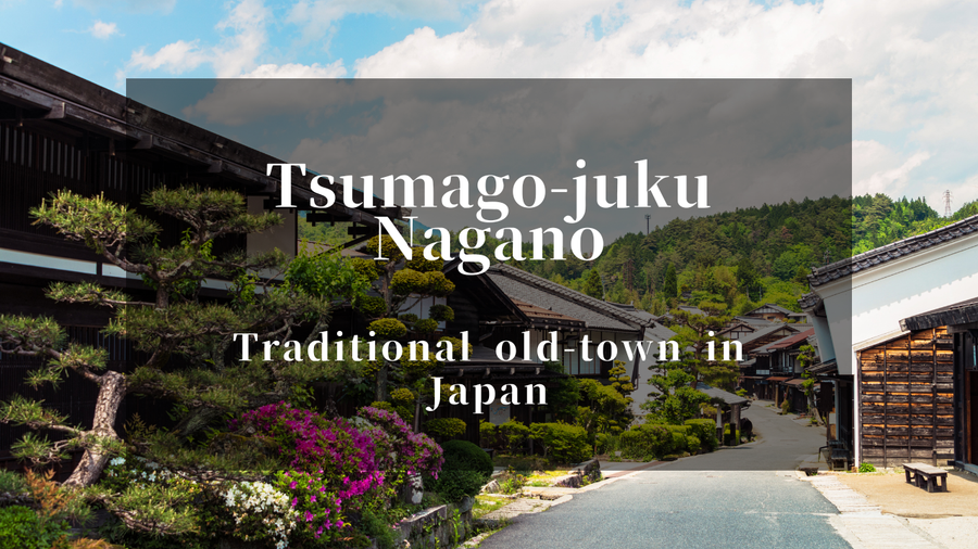
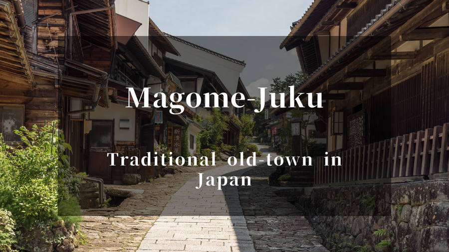
"This is what real rural Japan looks like." The moment I stepped off the train at Nojiri, I couldn't help but whisper these words. Mountains of the Kiso Valley rising on both sides, rice fields spread across the valley floor, scattered houses. Unlike the tourist bustle of Tsumago-juku or Magome-juku, here was a landscape where local people simply go about their daily lives.
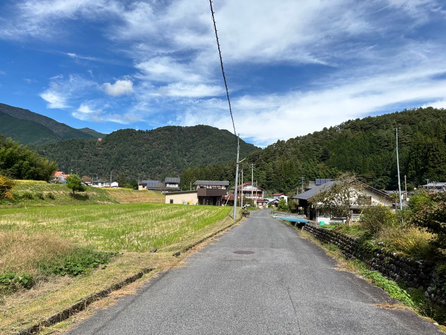
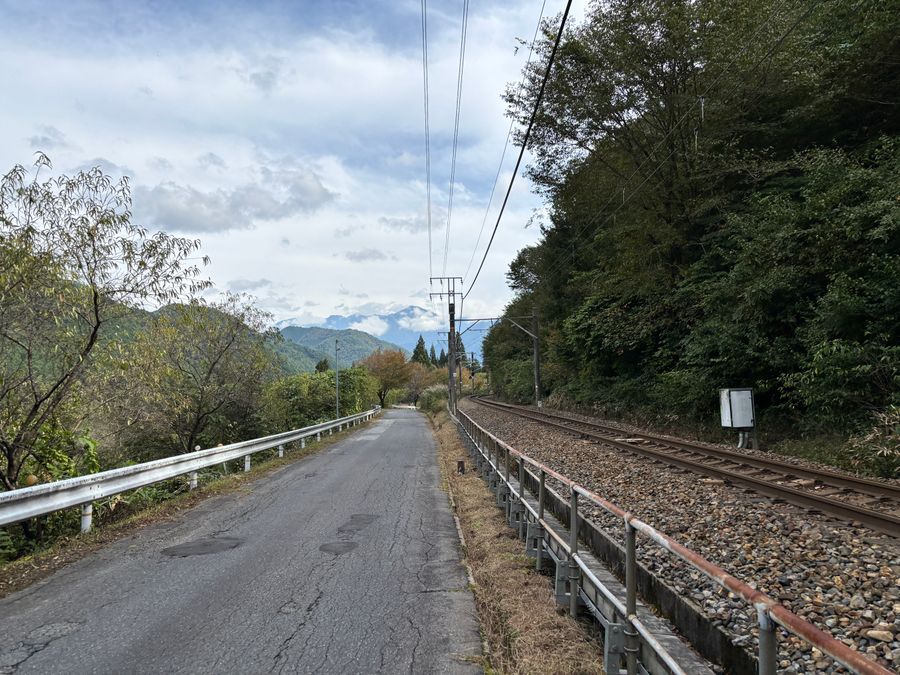
The distance from Nojiri-juku to Suhara-juku is about 8km. The route takes you along railway tracks, through rice fields, and beside the Kiso River. Compared to Tsumago-juku and Magome-juku, far fewer hikers walk this section, making it wonderfully quiet. That's what made it special. JR Chuo Line trains occasionally pass by, locals work in the rice paddies. This is the authentic, untouched Kiso Valley.
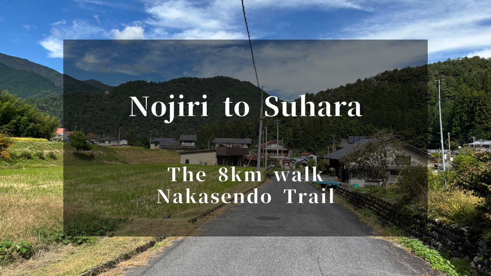
Nakasendo Trail: The 8km Path from Nojiri to Suhara
The Nakasendo route from Nojiri-juku to Suhara-juku is mostly flat terrain. Rather than a mountain trail, it's a leisurely countryside walk along railway tracks and through rice fields. You'll breathe fresh mountain air while gazing at the surrounding Kiso mountains, watch passing trains, and greet farmers working in the fields. These simple moments cleanse the soul.
The roads are paved, making it very easy to walk. Sneakers are perfectly sufficient.
Item | Details |
Distance | About 8km |
Time required | 2.5-3 hours |
Difficulty | Beginner (mostly flat, paved road) |
Nojiri-juku: A Post Town Embraced by Mountains
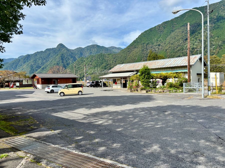
Our starting point on this Nakasendo route was Nojiri-juku. We took the JR Chuo Line to Nojiri Station and began our walk from there.
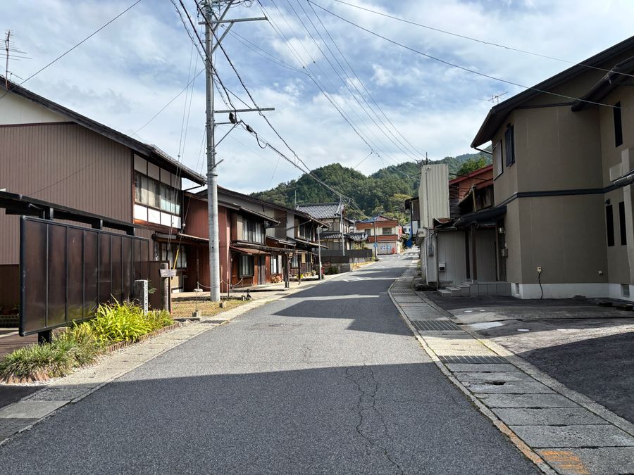
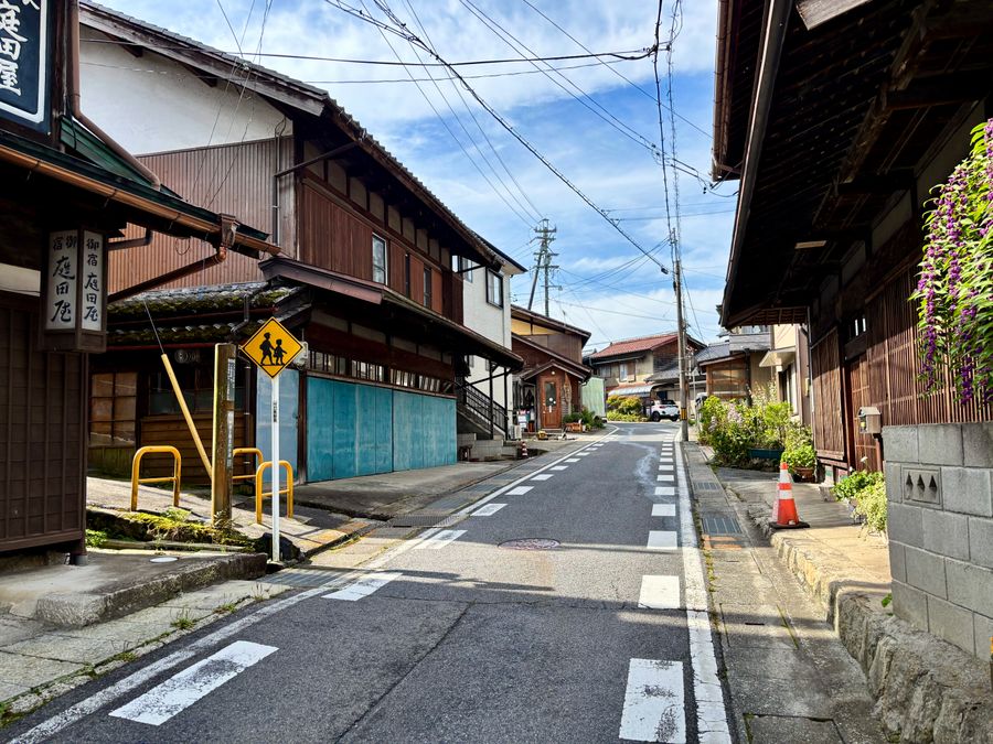
As you exit the station, the streets of Nojiri-juku immediately appear.
Although a major fire in 1943 destroyed many buildings in Nojiri-juku, the street layout remains unchanged from the Edo period. Traditional wooden buildings mix with newer houses, creating an atmosphere of a "living post town."
Nojiri-juku's distinctive feature is its "seven curves" (nanakagari) - a winding road designed to prevent enemy intrusion by blocking sight lines. We wound our way through these curves toward our destination, Suhara-juku.
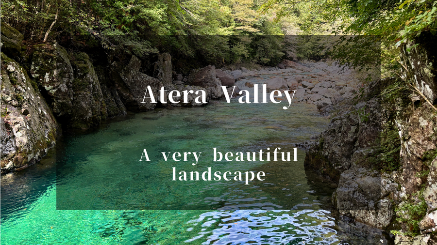
Must-Visit: Atera Valley
Located about a 20-minute walk from Nojiri-juku, Atera Valley is an absolute must-see when visiting the Kiso region. The emerald-green stream, known as "Atera Blue," is a breathtaking sight.
This 15km gorge features spots like Tanuki-ga-fuchi (Raccoon Dog Pool) and Inukaeri-no-fuchi (Dog's Return Pool), all with legends involving wild animals. The water clarity is exceptional - you can clearly see the river bottom. The day after sunny weather is especially beautiful, when the emerald green really stands out. Definitely consider adding this to your itinerary.
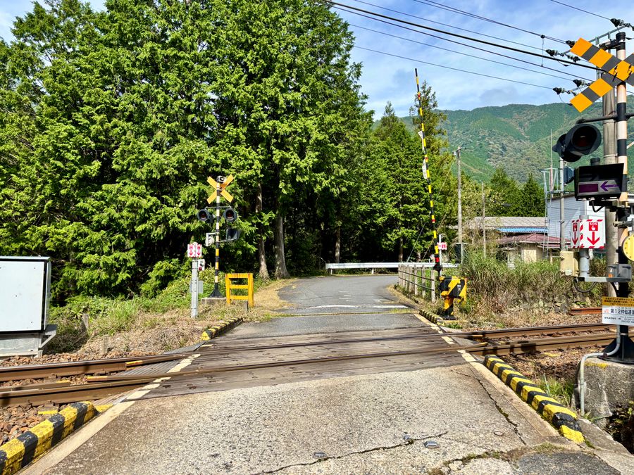
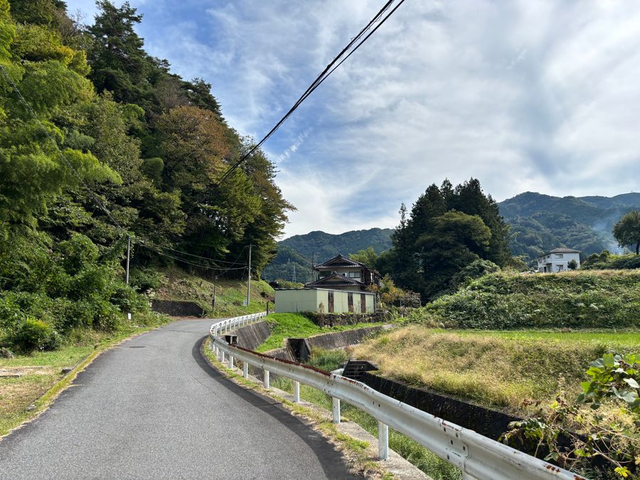
From Nojiri-juku to Suhara-juku: Walking Along the Railway
After leaving Nojiri-juku, the Nakasendo follows the JR Chuo Line railway tracks. The paved ground made for easy, comfortable walking.
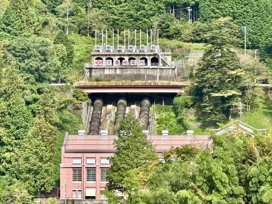
Along the way, you'll see a red brick building across the Kiso River. This is a hydroelectric power plant utilizing the river's abundant water flow. Japan has many mountains and steep rivers, so you'll find hydroelectric plants throughout the country.
📍 Okuwa Power Plant (Google Maps)
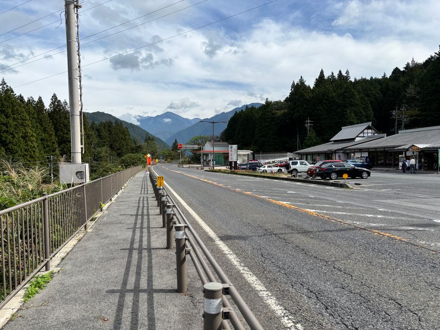
Roadside Station Okuwa: Rest Stop
After passing the Okuwa Power Plant and continuing your walk, you'll reach National Route 19. About 3 minutes from there, you'll find Roadside Station Okuwa. The spacious interior, built with Kiso cypress, houses local specialty products, a light meal corner, and an authentic Kiso beef restaurant.
📍 Roadside Station Okuwa (Google Maps)
Facility Information
Business hours: 9:00-18:00
Restaurant: 11:30-20:00 (closed on Thursdays and New Year's holidays)
Parking: Free
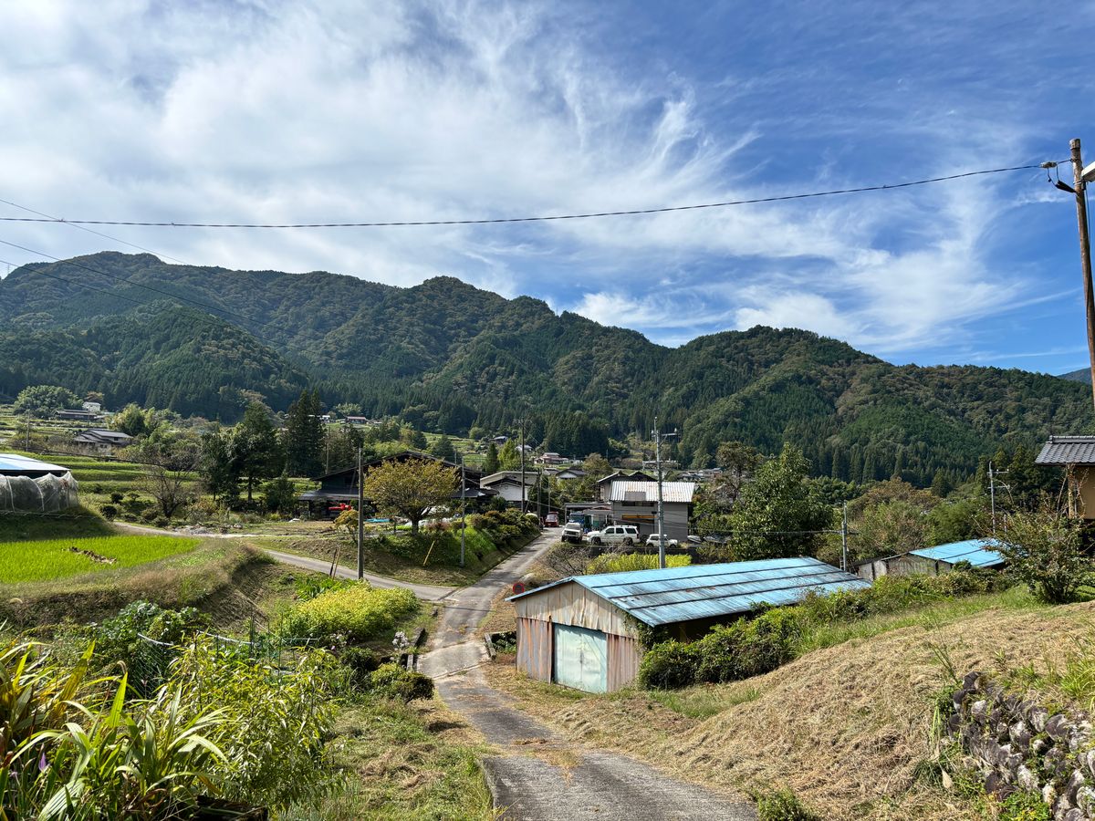
Into the Nature-Rich Scenery of Kiso Valley
Past the roadside station, the route leaves the national highway and returns to the old Nakasendo path. After a while, the trail enters a pass road through Kiso Valley where rice paddies and fields spread out on both sides. Escaping the urban hustle and enjoying a countryside stroll where time moves slowly - these simple moments let you truly appreciate rural Japan.

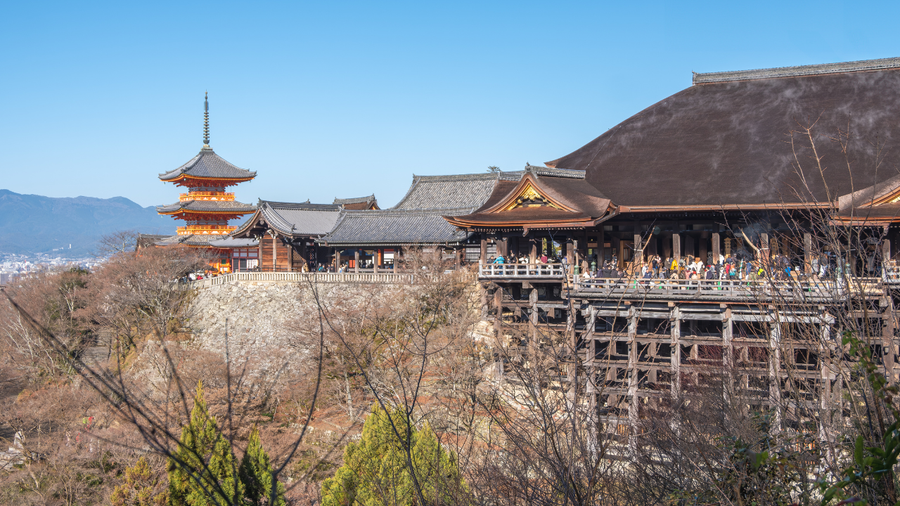
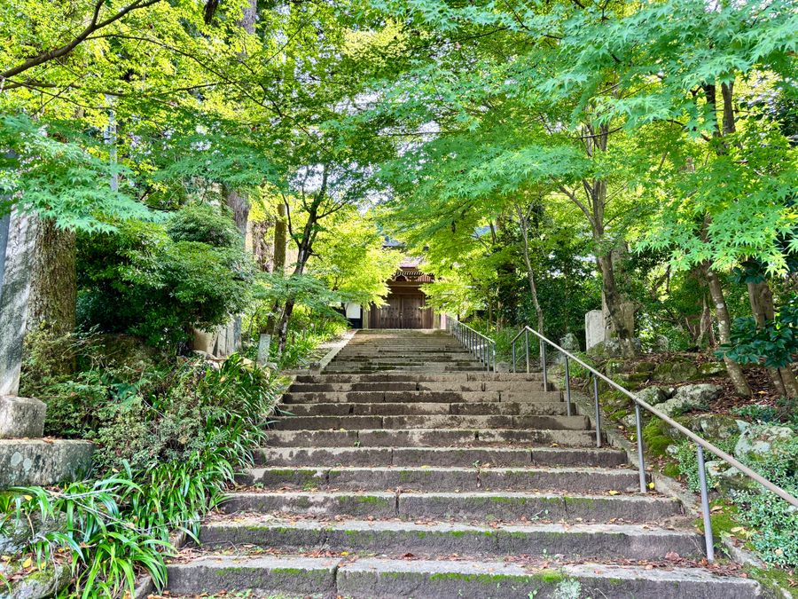
Iwade Kannon: Nagano's Kiyomizu Temple
As you approach Suhara-juku, you'll see signs for Iwade Kannon. Located about 100 meters to the right of the Nakasendo, this small temple hall is a must-visit spot.
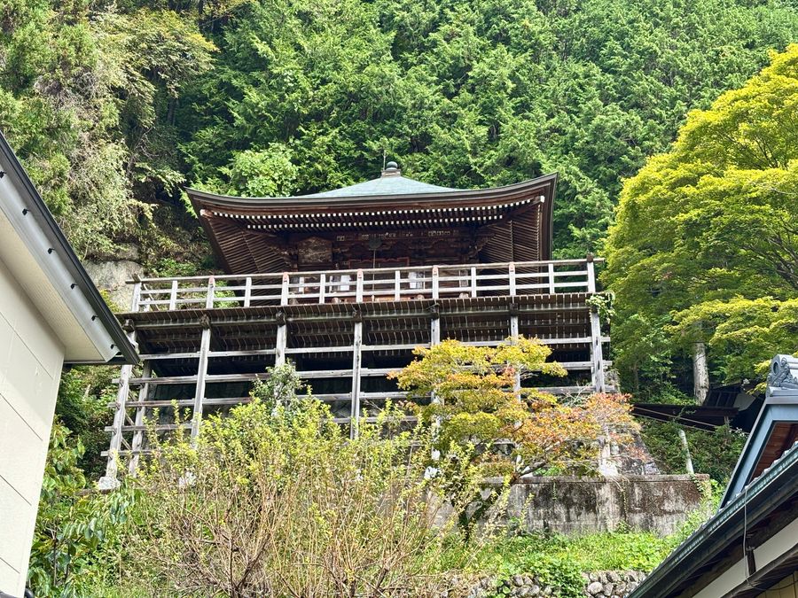
Built in the "kake-zukuri" (suspended construction) style - the same as Kyoto's famous Kiyomizu-dera Temple - the temple dramatically juts out from a cliff face. Wooden pillars extend from the cliff with the observation hall perched on top - a stunning sight.
I visited in mid-October before peak autumn colors. During the fall foliage season, the contrast between the temple and colorful trees is reportedly spectacular.
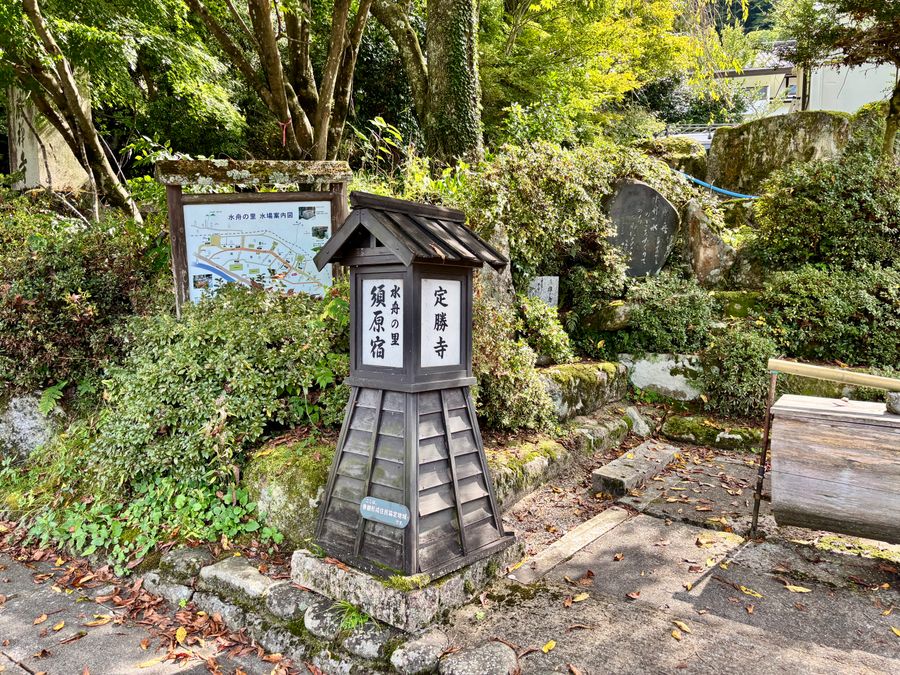
Suhara-juku: A Post Town Dotted with Water Troughs
About 15 minutes from Iwade Kannon, you'll arrive at your destination: Suhara-juku. While many buildings have been rebuilt, you can still feel the post town's historic atmosphere as you walk.
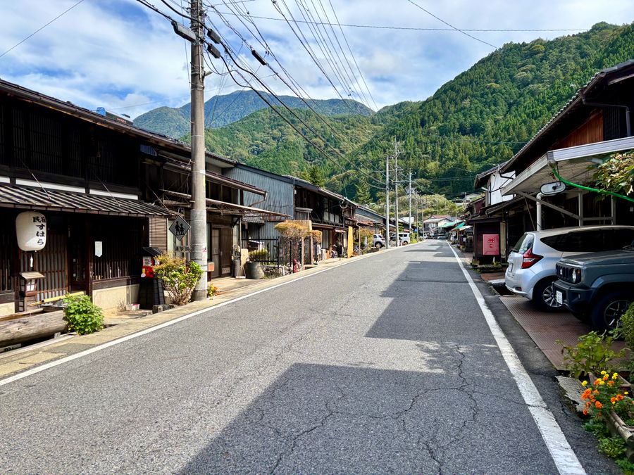
One of Suhara-juku's highlights is Josho-ji Temple. Its gate, main hall, and monks' quarters are designated National Important Cultural Properties. The quiet presence conveys a sense of historical weight.
Access
Here's how to reach and walk between Nojiri-juku and Suhara-juku on the Nakasendo trail.
Getting There by Train
Both Nojiri Station and Suhara Station are on the JR Chuo Line in Kiso Valley, just a few minutes' walk from their respective post towns. We started at Nojiri Station and finished at Suhara Station. The reverse route works equally well.
For information on getting to Kiso Valley from Tokyo, see the article below.
Number of trains: The JR Chuo Line runs approximately once every 1-2 hours. Service becomes less frequent in the evening, so check the timetable in advance.
What to Bring and Important Notes
Watch for traffic when walking along the national highway
Bring water beforehand - there are few shops near Nojiri and Suhara stations
Restrooms: Nojiri Station, Roadside Station Okuwa, Suhara Station
Use Google Maps for the Nakasendo Route
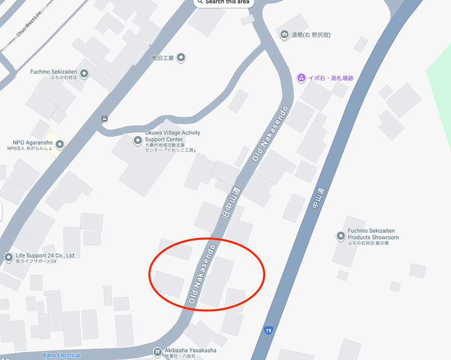
While some Nakasendo trail signs are posted, there are fewer markers compared to the Magome-Toge Pass. We walked using Google Maps. On Google Maps, the old Nakasendo is marked as "Old Nakasendo."
📍 Nojiri Station (Google Maps)
📍 Suhara Station (Google Maps)
A Journey Living with Kiso's Forests
The route from Nojiri-juku to Suhara-juku may lack flashiness, but that's precisely its charm. Walking through the deep valley embraced by Kiso mountains, visiting post towns preserved by local communities - this is an encounter with authentic rural Japan that you'll never find at tourist hotspots.
If you're visiting Tsumago-juku or Magome-juku, please add this route to your itinerary. If you have time, combining it with Atera Valley is highly recommended. The emerald-green "Atera Blue" stream and the tranquility of post towns - you can fully enjoy Kiso's nature and history in a single day.